PROFESSIONAL UTILITY ENGINEERING
Established in 2002 Utility Mapping Services is a Utility Engineering (UE) firm focused on the Subsurface Utility Engineering (SUE) industry. We are experts in establishing the georeferenced position of utility infrastructure and accurately depicting that infrastructure. We combine state-of-the-art geophysical, bathymetric, and survey technologies with discrete non-destructive test holes to designate utility infrastructure locations.
The earlier in the planning and design process through construction that SUE is applied, the higher the potential return on investment, typically 10:1 or more. Project owners, designers, utility operators, and contractors can then collaborate to find resolutions to those conflicts that ensure safe, fast, lower-cost, and trouble-free construction well before groundbreaking begins.
With our data collection/management product suite GeoFeature™, we can help you develop 2D and 3D BIM and CIM models with accurate utility delineations you can depend on. Equipped with that knowledge, project owners, designers, utility and facility operators, and contractors can plan accordingly and find resolutions to those conflicts before construction begins.
Find out what makes our Platforms Compelling
OUR PLATFORMS
We have moved past marginal improvements to subsurface utility management to empower your organization to make integrated decisions and streamline operations. Our platforms provides an operating system that provides seamless integration, breaks down information silos and allows data driven decisions across an organization by putting the right data, in the right hands, at the right time.
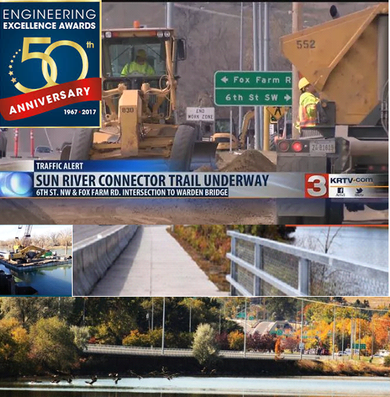
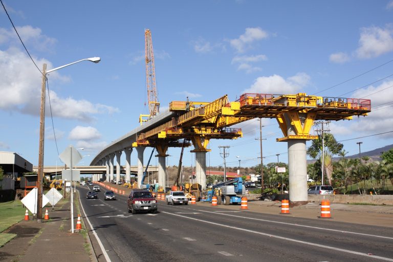
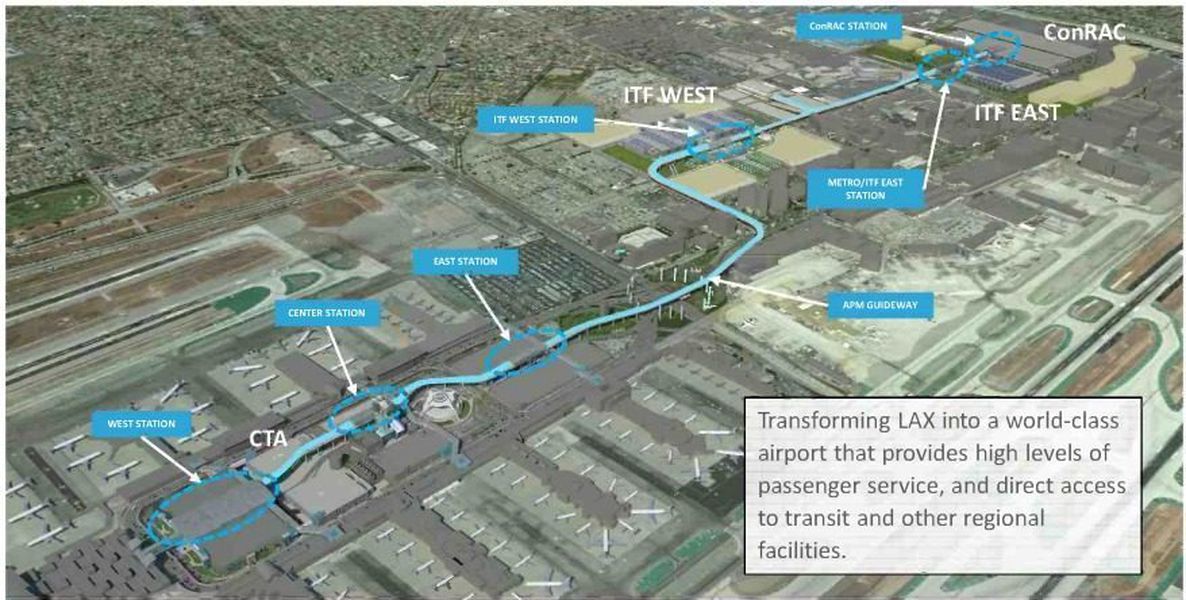
Impact Showcase